A TROPICAL STORM WARNING is in effect for Philadelphia along with Montgomery, Bucks, Chester and Delaware counties; southern New Jersey including Atlantic, Burlington, Camden, Cape May, Cumberland, Gloucester, Mercer and Salem counties; and Delaware including New Castle, Kent and Sussex counties through Tuesday evening.
See all severe weather notifications at 6abc.com/Weather/Alerts
Flooding rainfall and gusty winds are expected as Tropical Storm Isaias passes over the region.
A FLASH FLOOD WATCH is in effect tonight and tomorrow across the entire region because of heavy tropical rains totaling 2-4".
New track update earlier this morning, but same result. Looks like Isaias will be passing through the middle of our area on Tuesday afternoon with potentially damaging winds and flooding rainfall. A breakdown on @6abc at noon. FYI, partly sunny, late t'storm today. 89. pic.twitter.com/diprD3Vb7I
— davidmurphy6abc (@davidmurphy6abc) August 3, 2020
Ahead of Isaias' arrival, it's warm and muggy today with partly sunny skies and some thunderstorms possible late in the day and tonight. The high is 89. At the Shore, 84. There's a moderate risk of rip currents in the ocean.
TONIGHT: Drenching showers and thunderstorms are possible as Tropical Storm Isaias draws closer. It remains warm and muggy with a low of 74.
TUESDAY: Spotty showers and storms are possible in the morning. The bulk of the day's rain will be centered from the late morning hours through late afternoon as Tropical Storm Isaias moves through the center of the region. Two to four inches of rain is possible along with potential flash flooding.
The afternoon will also be windy with gusts between 40 and 50 mph and perhaps a bit higher, strong enough to bring down some trees and blow unprotected objects into roads. The high is 78.
At the Shore, a two-foot storm surge and lunar high tide will combine with heavy rain and wind to cause coastal flooding. Some minor beach erosion is possible, as well as minor to moderate property damage to homes, boat docks and boardwalks.
WEDNESDAY: The storm is gone and we get a nice, partly sunny day with a warm high of 86.
THURSDAY: This is another partly sunny day with a small chance for a late day or evening thunderstorm. The high is 84.
FRIDAY: Sun mixes with clouds. It's warm and humid with a high of 87. Another spotty afternoon thunderstorm is possible.
SATURDAY: It's a very warm and sticky start to the weekend. Look for a mix of clouds and sun with a thunderstorm in a few spots. The high ticks up to 89.
SUNDAY: Look for a partly sunny and humid day with another thunderstorm around. The high is 88.
MONDAY: It's still warm and sticky with a high of 88 and another spotty storm.
RELATED: Severe weather advisories, watches and warnings from the National Weather Service
For weather updates wherever you go, please download the AccuWeather app.
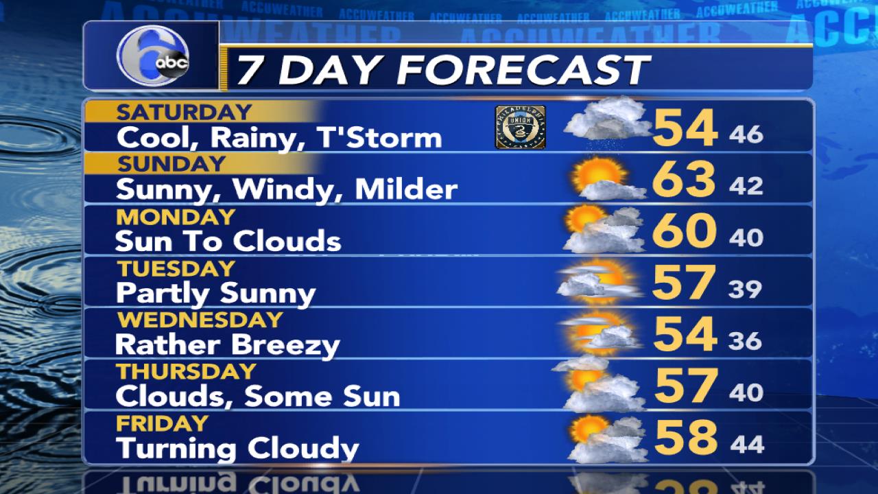
The EXCLUSIVE AccuWeather 7 Day Forecast

Copyright © 2020 WPVI-TV. All Rights Reserved.
"news" - Google News
August 03, 2020 at 10:34PM
https://ift.tt/2PmTMuk
AccuWeather: Tropical Storm Warning for entire Philadelphia region ahead of Tropical Storm Isaias - WPVI-TV
"news" - Google News
https://ift.tt/2DACPId
https://ift.tt/2Wh3f9n
Bagikan Berita Ini


0 Response to "AccuWeather: Tropical Storm Warning for entire Philadelphia region ahead of Tropical Storm Isaias - WPVI-TV"
Post a Comment